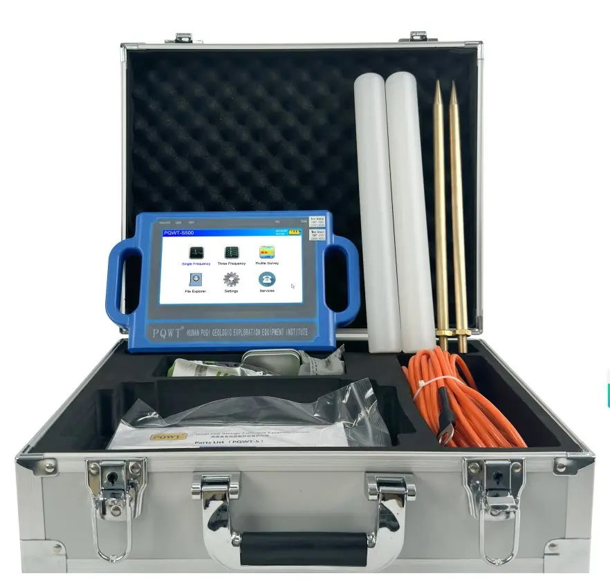
This independently written summary is based on a manufacturer-reported project published by PQWT. The project outcome is attributed to that source; geology, pipe conditions and operator technique vary, so this case is not a performance guarantee.
Manufacturer case material published August 8, 2025: Omani Client Successfully Locates Water Source Using PQWT S300 Borehole Water DetectorWhy arid-region borehole siting needs more than a depth number
The source describes a project in Oman, where limited rainfall and high water demand make dry or weak wells especially costly. The client was seeking a portable survey system that could help compare potential structures before drilling for agricultural and domestic supply.
Arid terrain does not make groundwater geology simple. Alluvial channels, weathered rock, fractures, faults, saline zones and fresh bedrock can change quickly. A survey should therefore be designed around a local hydrogeological model and any nearby drilling records, not around the assumption that the deepest anomaly is the best target.
Survey steps described in the Oman source
The manufacturer says the client established multiple survey points based on the local terrain, collected field data with the S300 and used the instrument's automatic mapping output to review subsurface anomalies. A drilling location was then selected from the interpreted profile.
For a defensible field program, the line should extend across the expected target, include background on both sides and avoid obvious electrical or metal interference. Suspicious points should be repeated, and a cross-line should test whether the apparent structure continues in a plausible direction.
Build a site model
Review landform, geology, drainage, known faults, nearby well depths, yields and water quality.
Plan multiple points
Set line direction and station spacing to cross the suspected structure rather than follow it.
Acquire consistently
Keep setup and point procedure stable and document interference, terrain and any changed station.
Review the profile
Compare the full shape and continuity of anomalies instead of assigning water to one color.
Test the preferred zone
Repeat points and add a cross-line before recommending a depth interval and drill location.
Verify through the well
Log formations and water strikes, then measure drawdown, recovery, discharge and water quality.
The water strike reported by the manufacturer
The source reports that drilling at the recommended point reached clean and stable water that was considered suitable for the project's agricultural and domestic needs. It presents the result as a successful use of the S300 in an arid environment.
A case report can demonstrate how a workflow was applied, but it cannot predict another site's outcome. Sustainable supply must be based on measured pumping response over an appropriate duration, and domestic use requires water-quality testing. Salinity is particularly important to investigate in many arid and coastal settings.
Checklist for a similar Gulf-region survey
- Obtain nearby well records, including dry holes, static levels, yields and salinity where possible.
- Plan lines across wadis, structural trends and suspected fracture zones rather than only near convenient access roads.
- Keep distance from power, fences, buried services, grounded pumps and other interference.
- Repeat the preferred anomaly on a second line and record the reasons alternative targets were rejected.
- Agree in advance on drilling-log detail, casing plan, well development and pumping-test duration.
- Analyze water chemistry before approving domestic, livestock or irrigation use.
Practical lessons from the reported project
Terrain guides line design
Survey points should test a hydrogeological question; evenly spaced data is useful only when the line crosses the relevant structure.
Automatic mapping is a starting point
Profiles organize relative changes, but clay, salinity, lithology and interference still need to be considered.
Cross-lines reduce ambiguity
A second direction helps test whether an anomaly is a coherent structure or a one-line artifact.
Water quality is part of success
A productive well may still require treatment or may be unsuitable for the intended use if salinity or contaminants are high.
Related equipment
Frequently asked questions
Did the Oman case prove that the S300 always finds water?+
No. It is one manufacturer-reported project. Geology, recharge, salinity, survey quality and drilling vary, so no single case guarantees another result.
Does S300 mean the well must be 300 m deep?+
No. The model name refers to its stated investigation range. The recommended drilling depth should come from local geology, profiles, nearby wells and the drilling plan.
Why is water-quality testing important in Oman?+
A water strike may be saline or unsuitable for the intended use. Laboratory analysis is required before approving domestic, irrigation or livestock supply.
What verifies a successful borehole after drilling?+
Use a drilling log, static water level, well development record, measured pumping test, recovery data and water-quality results.
PROJECT REVIEW & MODEL SELECTION
Planning a groundwater survey in an arid region?
Send the country, expected geology, target depth, drilling capacity, nearby well data and intended water use. We can compare the S150, S300, S500 and mobile model ranges.