2-Year WarrantyGlobal ShippingExpert Support

Home/Underground Water Detectors/PQWT-M400

Professional field equipment2-year warranty

PQWT-M400 400 m Underground Water Detector

PQWT-M400 is a smartphone-linked 400 m groundwater detector that turns field measurements into curves and geological profile maps for borehole siting.

Current export priceRequest today’s quotation

Price is confirmed by model, accessories, quantity and destination.

Selected model
PQWT-M400
Minimum order
Confirmed in quotation
Your reply includes model confirmation, current export price, lead time and shipping options.
Detection rangeUp to 400 m
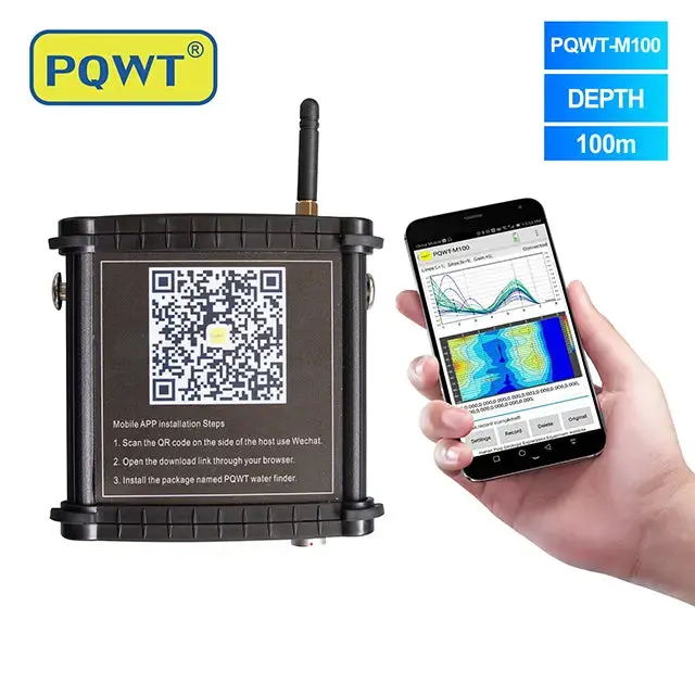
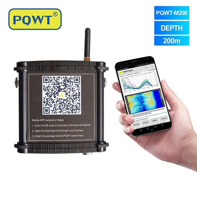
Survey outputAutomatic curves and geological profile maps
DisplayAndroid mobile-app workflow

About this product

  • Automatic profile mapping
  • Clear profile visualization
  • Training and interpretation support
B2B order supportFormal quotation · Proforma invoice · Export packing
Remote trainingTechnical support
2-year warrantyExpert Support
Detection rangeUp to 400 m
Survey outputAutomatic curves and geological profile maps
DisplayAndroid mobile-app workflow

Applications

Applications

01

Water-well siting

02

Hydrogeological surveys

03

Drilling preparation

Key advantages

Key advantages

Automatic profile mapping
Clear profile visualization
Training and interpretation support
2-Year Warranty
Expert Support

Detailed product guide · PQWT-M400

How to use the 400 m mobile groundwater detector responsibly

The PQWT-M400 is a smartphone-linked field instrument for groundwater exploration and borehole-site screening with a stated depth range of up to 400 m. This guide explains the survey workflow, the meaning of its curves and profile maps, and why local geology and repeat measurements remain essential before drilling.

Model rangeUp to 400 m

Choose the model from the required investigation depth, not from depth alone.

Display workflowAndroid mobile app

Field measurements are presented as curves and geological profile maps.

Primary useBorehole-site screening

Compare survey lines and geological anomalies before drilling decisions.

InterpretationGeology-led

Combine instrument output with well logs, terrain and professional judgment.

01
01 · Product overview

What the PQWT-M400 provides in the field

The PQWT-M400 collects field measurements along a planned survey line and displays the results through an Android mobile workflow. The operator reviews curves and profile maps to identify changes that may relate to fractures, faults, weathered zones or contrasts between geological layers.

It is a reconnaissance and comparison tool—not a camera that directly sees underground water. A useful survey connects the displayed anomalies with the geological setting, nearby borehole records, topography and repeated lines. The final drilling decision should be based on all of this evidence rather than one colored band on one profile.

  • Rural water-supply and agricultural borehole planning
  • Preliminary screening before committing drilling resources
  • Comparing several possible well locations within one project area
  • Supporting field work by hydrogeologists, drilling teams and trained operators
02
02 · Survey workflow

A repeatable process from desk study to field profile

Before measuring, collect any available geological map, existing well depth and yield data, seasonal groundwater information and the location of power lines, pipelines or other infrastructure. Use this information to choose survey lines that cross the expected geological structure rather than following it.

Keep the measurement spacing and operating procedure consistent. Complete the first line, review the continuity of the anomaly and then run a second line or cross-line to test whether the feature repeats. Record the location, direction, terrain and weather so the profile can be interpreted in context.

  • Define the required water use and realistic drilling-depth range
  • Plan more than one survey line and avoid obvious electrical interference
  • Collect points at consistent spacing and repeat questionable measurements
  • Compare curves and profile maps across lines, not as isolated images
  • Select a drilling target only after geological and field verification
03
03 · Reading the result

What an anomaly can—and cannot—tell you

A contrast on a profile indicates a change in the measured field response. That change may be associated with moisture, a fractured zone, clay, salinity, lithological variation, a void or human-made interference. The same visual pattern can therefore have different causes in different geological settings.

The model's 400 m designation is the maximum stated investigation range, not a promise that groundwater is present at 400 m and not an automatic depth-to-water reading. Resolution and confidence normally decrease with depth. Existing well logs and local hydrogeological experience are especially important when interpreting deeper targets.

04
04 · Model selection

When to choose M400 instead of M100 or M200

Choose the M-series depth from the likely geological target and drilling plan. M100 is intended for shallower investigations, M200 for intermediate targets and M400 when the project reasonably requires a deeper stated range. Buying the deepest model does not by itself improve shallow-site interpretation.

Before recommending M400, we normally need the target depth, terrain, known geology, nearby well records, intended water use and destination country. If the site is geologically complex or the drilling investment is high, involve an experienced hydrogeologist or geophysicist in survey design and interpretation.

05
05 · Training & support

Preparing the operator for a useful first survey

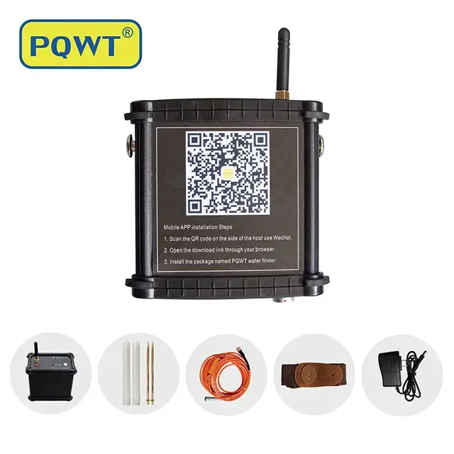
Remote operating guidance and technical support are available, with a standard two-year warranty. The formal quotation confirms the current device/app configuration, accessories, shipping method and export price.

For training, begin at a location with known wells and known geology. Compare the M400 profiles with real borehole information, practice repeat lines and document each measurement. This produces a local reference that is more valuable than relying on a universal color interpretation.

PQWT-M400

Check whether M400 fits your project

Send the country, target depth, terrain, geological information, nearby well records and intended water use. We will recommend a model and confirm the current export configuration.

Request a project-based quotationDiscuss the site on WhatsApp

FAQ

Frequently asked questions

Does the PQWT-M400 show an exact drilling point automatically?+

No. It produces field curves and profile maps that require interpretation. A drilling target should be selected only after comparing repeat lines with geology, terrain and nearby well information.

Does 400 m mean groundwater will be found at 400 m?+

No. It is the model's stated maximum investigation range, not a guarantee of water presence, borehole depth or drilling success. Confidence and resolution depend on the site and generally become more challenging with depth.

What phone or app does the M400 use?+

The M400 uses an Android mobile-app workflow. The current compatible device/app arrangement and included items are confirmed in the formal quotation before purchase.

What information is needed before choosing M400?+

Provide the target depth, terrain, known geology, nearby borehole depths and yields, intended water use, project country and preferred training language.

Is professional interpretation recommended?+

Yes, especially for complex geology or costly drilling. Instrument output is indirect and is strongest when combined with a hydrogeologist's or experienced geophysicist's interpretation.

Request a quotation

Request a quotation

Tell us your country, application and required depth. We will confirm the model, accessories, shipping and current export price.

Email our sales team
Get a quotationWhatsApp