Professional field equipment
Geophysical Water Detector & Groundwater Finder Systems
Compare automatic-mapping and multi-channel geophysical water detector systems for groundwater surveys, borehole siting and drilling preparation. Learn what the maps indicate, what they cannot guarantee and which project data is needed for model selection.
PQWT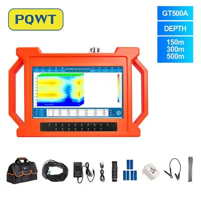
Detection range50–1,500 m stated model ranges
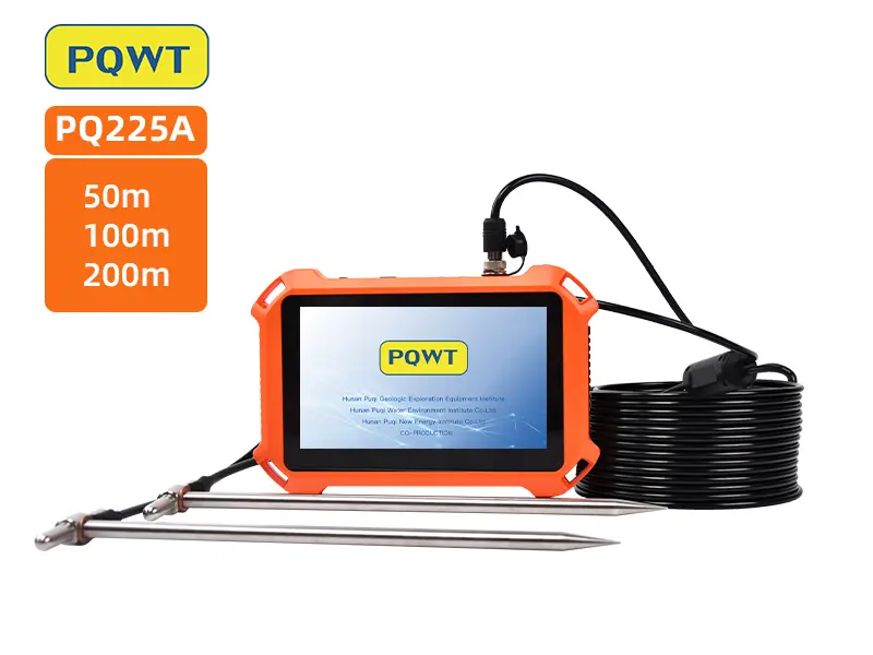
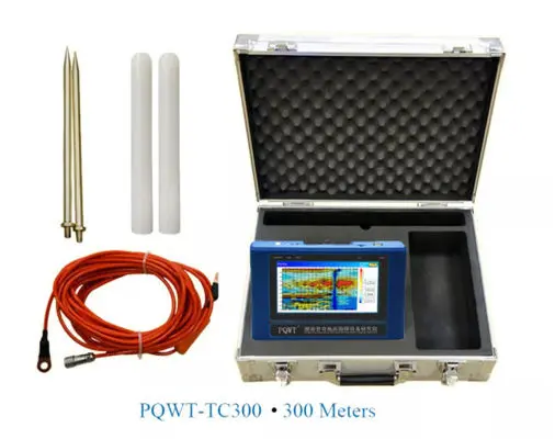
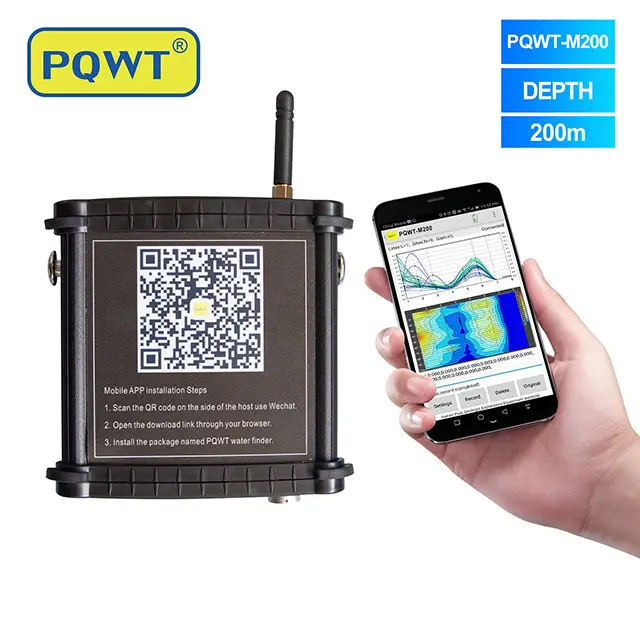
Model optionsPQ225, TC, GT, S and M series
Survey outputCurves and geological profile maps
Applications
Applications
Hydrogeological surveys
Drilling preparation
Key advantages
Key advantages
✓Automatic profile mapping
✓Multi-channel geological survey
✓Training and interpretation support
✓2-Year Warranty
✓Expert Support
Groundwater survey buyer guide
What a geophysical water detector measures—and how to compare models
A geophysical water detector records an indirect subsurface response and turns field measurements into curves or profile maps. The strongest buying decision comes from matching the instrument range and survey workflow to the geology, target depth, available line space and interpretation support—not from choosing the largest depth number.
Supports borehole planning before drilling; it does not guarantee water.
Compare repeat lines, cross-lines and anomaly continuity.
Automatic-mapping, mobile and multi-channel configurations.
Nearby well records and survey-area conditions improve the recommendation.
01
01 · Direct answer
What is a geophysical water detector?
A geophysical water detector is a field instrument used to compare variations in a measured electrical or electromagnetic response along a survey line. Those variations may be associated with fractures, weathered zones, moisture or changes in rock and soil, but clay, salinity, utilities and other geological contrasts can create similar anomalies.
The instrument therefore supports target screening rather than directly seeing an underground water body. A responsible workflow checks repeatability, interference, local geology and nearby borehole information before choosing a drilling point.
- Plan survey lines across the expected structure
- Keep spacing and electrode contact consistent
- Repeat doubtful anomalies on a parallel or cross-line
- Record coordinates, terrain, weather and interference
- Use qualified hydrogeological interpretation for costly drilling
02
02 · Model selection
Choose the detector from the project—not depth alone
Start with the realistic drilling limit, expected geological target and space available for survey lines. A deeper stated range does not automatically improve a shallow survey, and it is not a promise that water exists at the maximum depth.
TC and S models support portable automatic mapping, M models use a mobile workflow, and GT models use simultaneous multi-channel acquisition. Confirm the current configuration, accessories and training arrangement in the formal quotation.
03
03 · Verification
How to decide whether an anomaly is worth drilling
A stronger candidate normally repeats on adjacent points, remains coherent on a second line and fits a plausible hydrogeological structure. Compare curves, profiles, terrain and well records together instead of interpreting one color band as a universal water symbol.
After drilling, record lithology, encountered water depth, static level, pumping level and yield. This closes the loop and improves future interpretation in the same area.
Groundwater survey guides and downloads
Related resourceGeophysical water detector methods and verification
Understand measured responses, field controls and fair result verification.
Explore specifications →Related resourceHow to read groundwater detector curves and profile mapsReview baselines, repeatability, interference and alternative explanations.
Explore specifications →Related resourceDownload operation and profile-map PDF guidesOpen the English, French and Russian training-document library.
Explore specifications →Select a groundwater detector for the real survey
Send the country, target depth, terrain, geology, nearby well depths and yields, intended water use, survey area and preferred training language.
FAQ
Frequently asked questions
What is a geophysical water detector?+
It is a field instrument that compares indirect subsurface responses along survey lines and presents them as curves or maps for groundwater target screening and borehole planning.
Can a groundwater detector directly see water?+
No. It records indirect geophysical contrasts. Moisture, fractures, clay, salinity, lithology and interference can all affect the result.
Does the maximum depth guarantee water at that depth?+
No. It is a manufacturer-stated investigation range, not a guarantee of water presence, drilling depth, yield or success.
Which information is needed to select a model?+
Provide target depth, terrain, geology, nearby borehole depths and yields, intended water use, survey area, destination and training language.
How should an anomaly be verified before drilling?+
Repeat it on another line, check interference and compare the result with geology, terrain and nearby well records. Professional interpretation is recommended for high-cost drilling.
PQWT
Related equipment
Request a quotation
Request a quotation
Tell us your country, application and required depth. We will confirm the model, accessories, shipping and current export price.
Your quotation confirms the equipment, included accessories, freight, estimated dispatch / transit time, payment options and whether import duties or taxes are included. Please provide the delivery destination for an accurate total. Payment options →
Already own a device? Get after-sales help