No surface groundwater detector can directly measure the future liters per minute of an undrilled well. A survey may identify contrasts that are consistent with fractures, weathering or permeable layers and help rank a drilling target. Actual yield is established only after drilling reveals the formation and a properly designed pumping test measures drawdown, recovery and sustainable discharge.
A common buying question is whether a groundwater detector can show not only where to drill, but also how much water the completed well will produce. The distinction matters because selecting a promising geological target and forecasting a reliable long-term water supply are different technical tasks.
Groundwater is stored and transmitted by an aquifer system. The amount a well can deliver depends on aquifer thickness, permeability, fracture connection, recharge, seasonal water levels, well construction and pumping rate. Surface measurements may support a site-selection decision, but they do not directly observe all of those controls.
What a groundwater detector can—and cannot—show
A groundwater survey instrument records a physical response at the surface and compares changes along a planned line. Depending on the method, the result may highlight electrical, electromagnetic or natural-field contrasts. Those contrasts can be interpreted together with geology to identify possible faults, fractured rock, weathered zones or layer boundaries that may be relevant to groundwater.
The output is indirect. It is not a camera image of an underground reservoir, a water-level reading or a flow meter. Clay, salinity, mineralization, buried metal and changes in dry rock can also produce anomalies. For that reason, the useful question is whether a repeatable anomaly fits a plausible hydrogeological model—not whether one color guarantees water.
Why two nearby wells can produce very different yields
A well intercepts only a small part of an aquifer. Moving the borehole a short distance can change which fracture, sand lens or weathered interval it reaches. Even when both wells contain water, the rate at which water can move toward each well may differ greatly.
Rainfall and surface-water connections influence recharge, while pumping by neighboring wells changes the local water-level pattern. Well diameter, screen placement, gravel pack, development and pump setting also affect performance. A strong seasonal well may not maintain the same output through a prolonged dry period.
| Control | Why it matters | How to verify |
|---|---|---|
| Aquifer material | Coarse sand or connected fractures may transmit more water than clay or tight rock | Drilling log, cuttings and borehole imaging |
| Saturated thickness | A thicker productive interval may provide more available inflow | Water strikes, geophysical log and completed-well design |
| Recharge | Rainfall, rivers and regional flow replenish the aquifer at different rates | Hydrogeological study and seasonal monitoring |
| Well construction | Screens, development and pump placement can restrict or improve inflow | Construction record and well-development report |
| Pumping demand | Higher discharge produces greater drawdown and may exceed recharge | Step test and constant-rate pumping test |
Use the survey to rank targets, not to manufacture certainty
A responsible survey reduces uncertainty by combining independent evidence. Begin with geological maps, terrain and drainage. Add nearby borehole records, water levels, yields and water quality where available. Design lines that cross the expected structure, repeat suspicious points and use a second line to test continuity.
The report should rank one or more targets and explain the reasoning, alternative interpretations and limitations. Exact claims such as a guaranteed yield or guaranteed success rate should be treated cautiously unless they are supported by drilling and test data from the actual site.
Repeatable anomaly
The feature persists when points are remeasured and is supported by a cross-line or parallel line.
Plausible geology
The anomaly aligns with a fracture, weathered zone, permeable layer or other water-bearing setting.
One isolated color
A single extreme point may reflect contact, interference or interpolation rather than a target.
Sustainable yield
Only the completed borehole and pumping response can establish how much water can be supplied.
A responsible groundwater-to-well verification workflow
Define the water demand
Estimate domestic, livestock, irrigation or industrial demand and the seasonal reliability required.
Review existing evidence
Collect geology, nearby well depths and yields, water-level records, terrain and known quality problems.
Run a repeatable survey
Use documented lines, consistent spacing, repeat stations and cross-lines while recording interference.
Rank drilling targets
Compare the survey response with hydrogeology and state confidence, alternatives and a realistic depth interval.
Log the borehole
Record formations, fractures, water strikes, losses and final construction instead of relying on memory.
Develop and pump-test
Clean the well, then measure discharge, drawdown and recovery with an appropriate test duration.
Test water quality
Analyze the water for its intended use; productive water is not automatically potable or suitable for irrigation.
How a pumping test turns a water strike into useful yield data
During a pumping test, the well is pumped at a measured rate while the water level is recorded from a fixed reference. A step-drawdown test uses several increasing rates to observe well performance. A longer constant-rate test examines whether drawdown stabilizes and how the aquifer responds over time. Recovery measurements after pumping stops provide additional evidence.
The result is not simply the pump's maximum output. A sustainable recommendation considers drawdown, available water column, recovery, seasonal conditions and possible effects on neighboring wells. Important projects should be designed and interpreted by a qualified hydrogeologist or groundwater professional.
- Record static water level before pumping starts.
- Measure discharge with a reliable flow method throughout the test.
- Log water level at short intervals early in the test and at longer intervals later.
- Continue recovery readings after the pump is switched off.
- Separate temporary test performance from the recommended operating rate.
Questions to ask anyone promising a groundwater yield
- What physical property does the instrument measure, and what non-water conditions can produce the same anomaly?
- Was the result repeated on another line and compared with local geology or nearby wells?
- Is the stated depth a measured value, an interpreted interval or simply the model's maximum range?
- What drilling log, pumping-test data and water-quality results will be collected after the survey?
- Is the promised flow a field-tested discharge, a sustainable recommendation or only a pre-drilling estimate?
Groundwater survey models for planned field lines
Choose a stated range that matches the geological question and realistic drilling program. A deeper range is not automatically better; line quality, operator discipline and independent evidence remain essential.
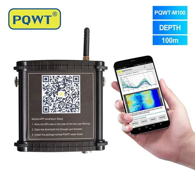
Mobile 100 m survey option
Smartphone-linked field screening for shallower groundwater exploration projects and repeatable survey lines.
View product →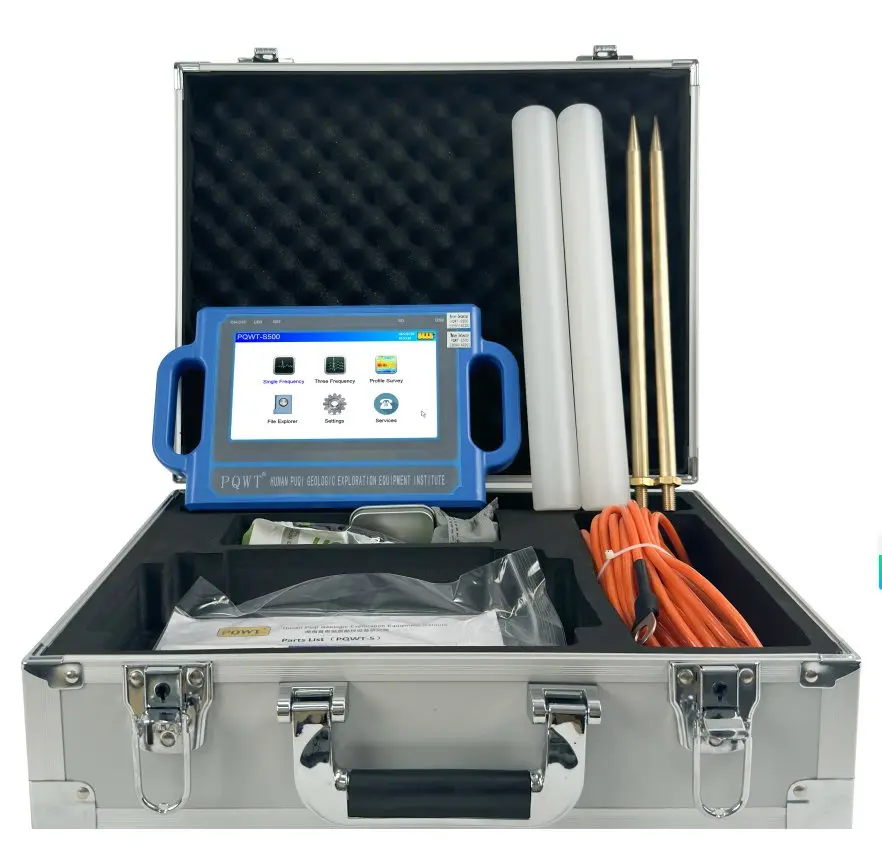
Portable 300 m survey option
A mid-range system for structured profiles, cross-lines and borehole target ranking.
View product →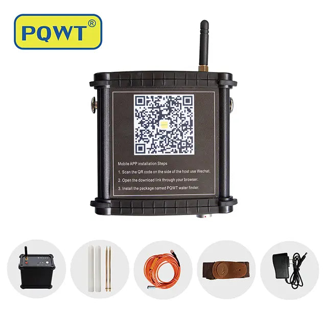
Mobile 400 m survey option
A deeper stated range for projects whose geology and drilling plan justify additional investigation depth.
View product →Frequently asked questions
Can a groundwater detector tell me liters per minute before drilling?+
No. A surface survey can help rank a geological target, but liters per minute depend on the aquifer, completed well and pumping conditions. Measure actual discharge and drawdown after drilling.
Does finding a water-bearing anomaly guarantee a productive well?+
No. The anomaly may have another geological cause, and even a water-bearing interval may transmit too little water for the intended demand. Cross-check the survey and verify by drilling and testing.
What is the best test for borehole yield?+
A properly designed pumping test with measured discharge, drawdown and recovery is the standard field approach. Test design and duration should match the project risk and local requirements.
Can nearby well data improve a groundwater survey?+
Yes. Nearby depths, formations, water levels, yields and quality provide valuable local evidence, although conditions can still change over short distances.
Is more investigation depth always better?+
No. Select the range around plausible target depths and available drilling capacity. Better field layout, repeat measurements and geological control are often more valuable than choosing the deepest model.
PROJECT REVIEW & MODEL SELECTION
Plan the survey and the yield test together
Send the country, intended water use, target depth, nearby well information and drilling plan. We can suggest a detector range and the evidence your field team should collect before and after drilling.